News / Bahadur Island v1.9 - Screenshots
Bahadur Island v1.9 - Screenshots
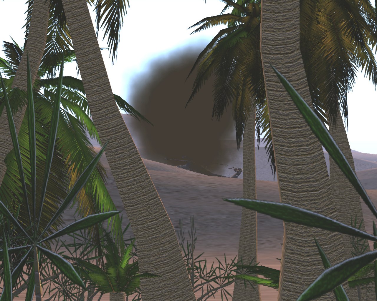
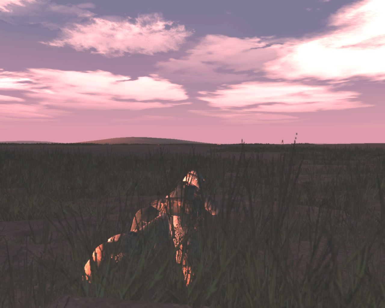
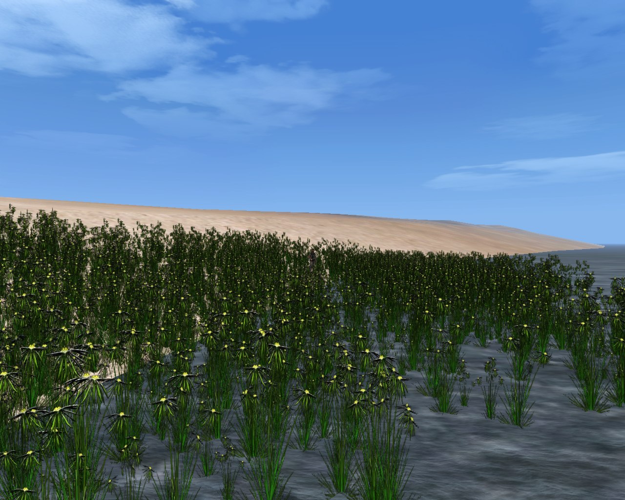
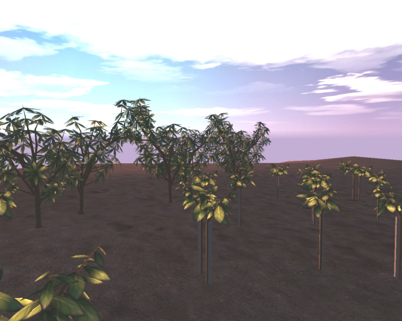
Sgt Anderson has informed us that his upcoming Bahadur Island v1.9 should be out in a couple of weeks, after some final besta testing.
Map features:
- 25.6x25.6 km
- 300+original buildings (industial, military, commercial, residential), plants/trees, misc objects to furnish buildings and bases with.
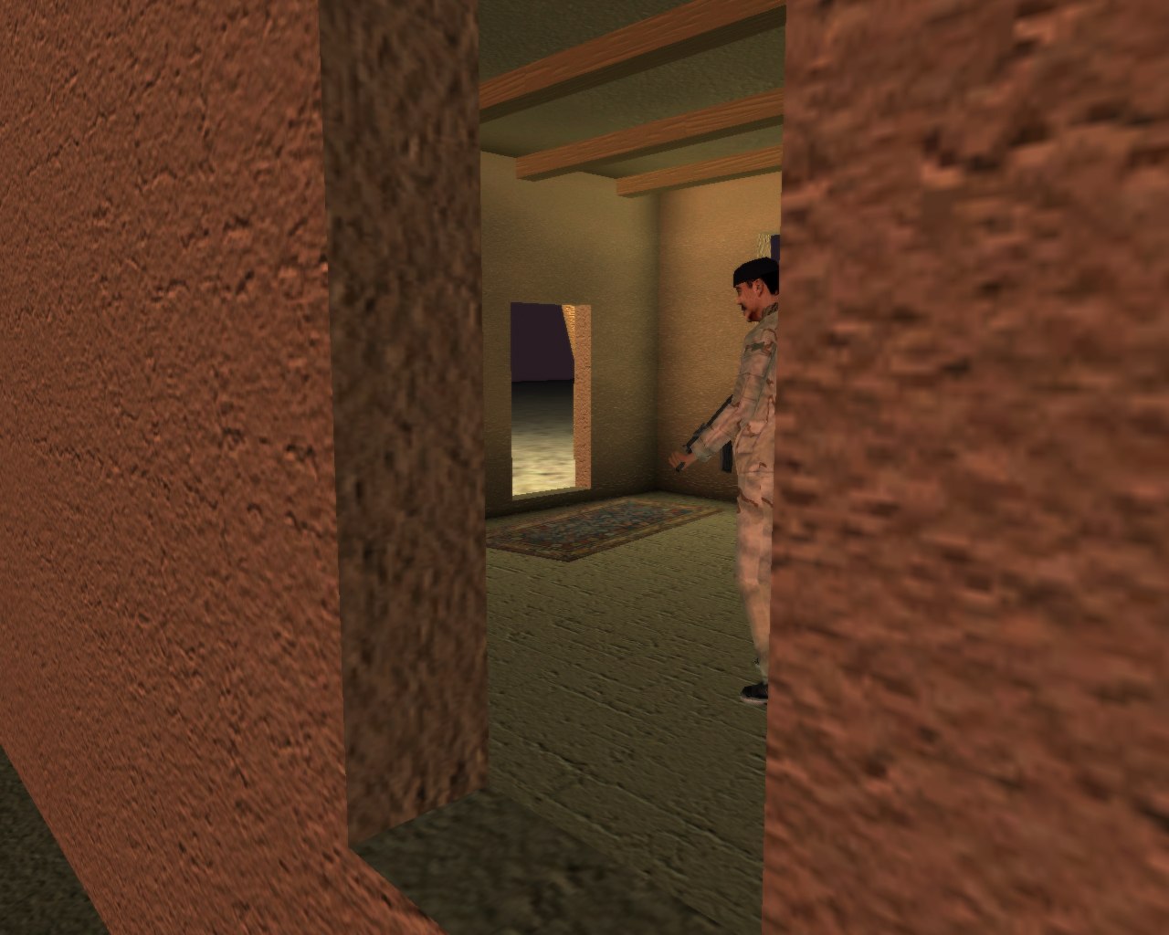
- Working AI paths for each enterable building. (good for sending a AI squad into a building)
- Underground bunkers and tunnel systems (including detainment facilities/interrogation bunkers/supply caches/troop bunkers
- some of the plants/vegetation will be crop fields/orchards (papyrus plants, loquat and orange fruit trees, wheat and barley)
- many types of supply crates/cammo netting configurations
- new sandbag fortifications and barbwire
- new high-res ground textures
- All highways/roads/juctions have proper road signs, speed limits, distance signs (5km to city of Jhasmi)
*bonus* fictional Ft. Wilson Coalition training map (situated in the U.S.A. for pre-tour training/preperation/conditioning of troops/vehicle crews in all types of engagement and activities with the addition of a MOUT training facility
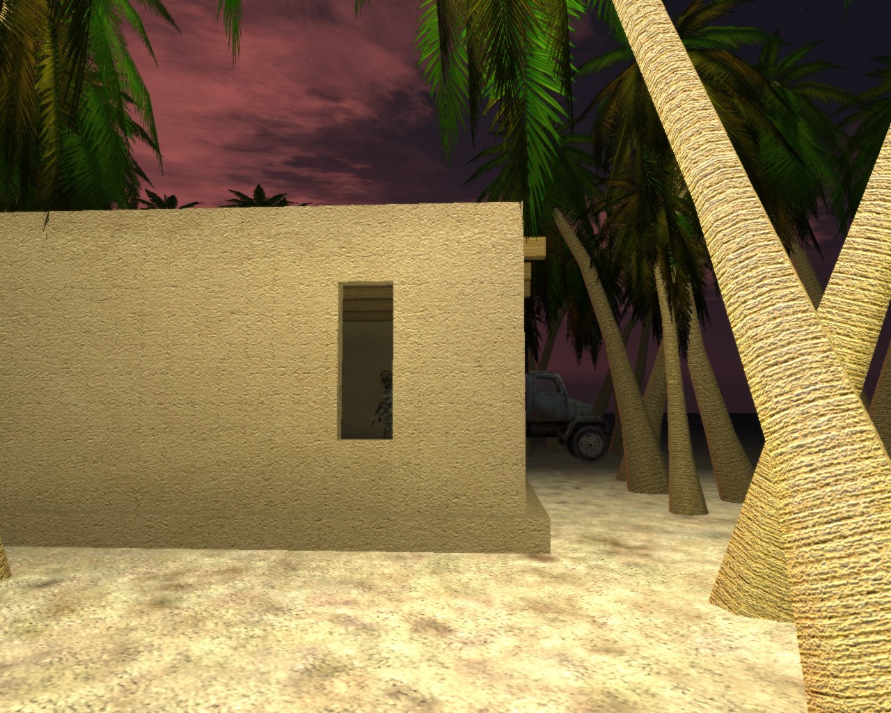
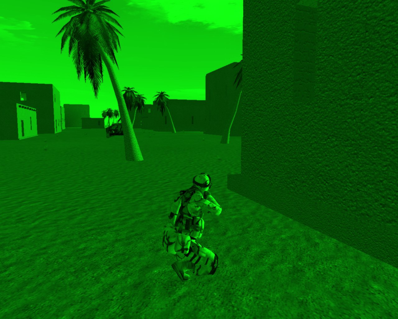
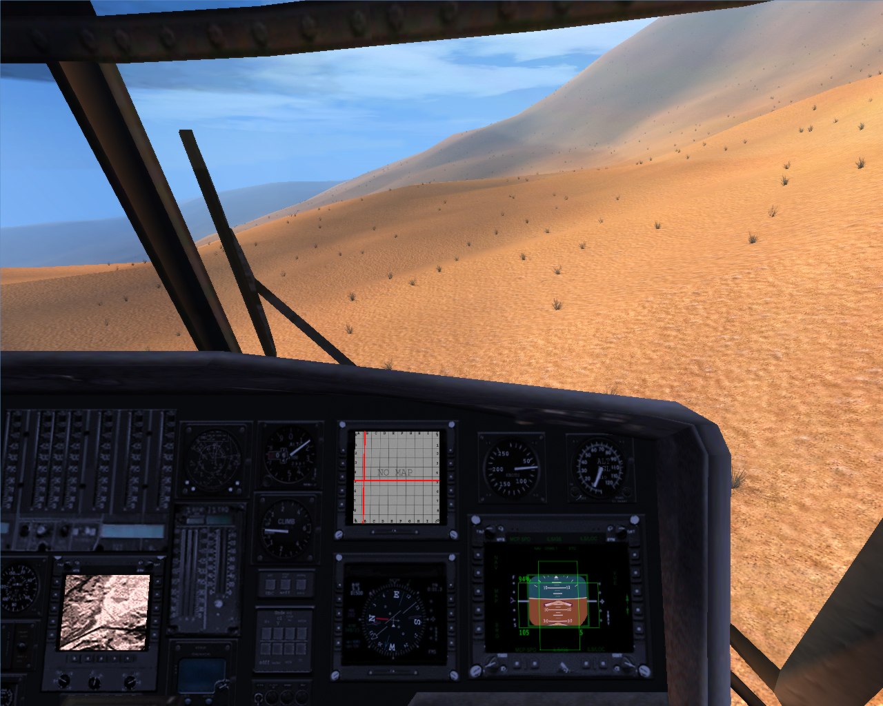
*note* everything in the following pictures does not represent the final product