News / Another Normandy Island - Screenshots
Another Normandy Island - Screenshots
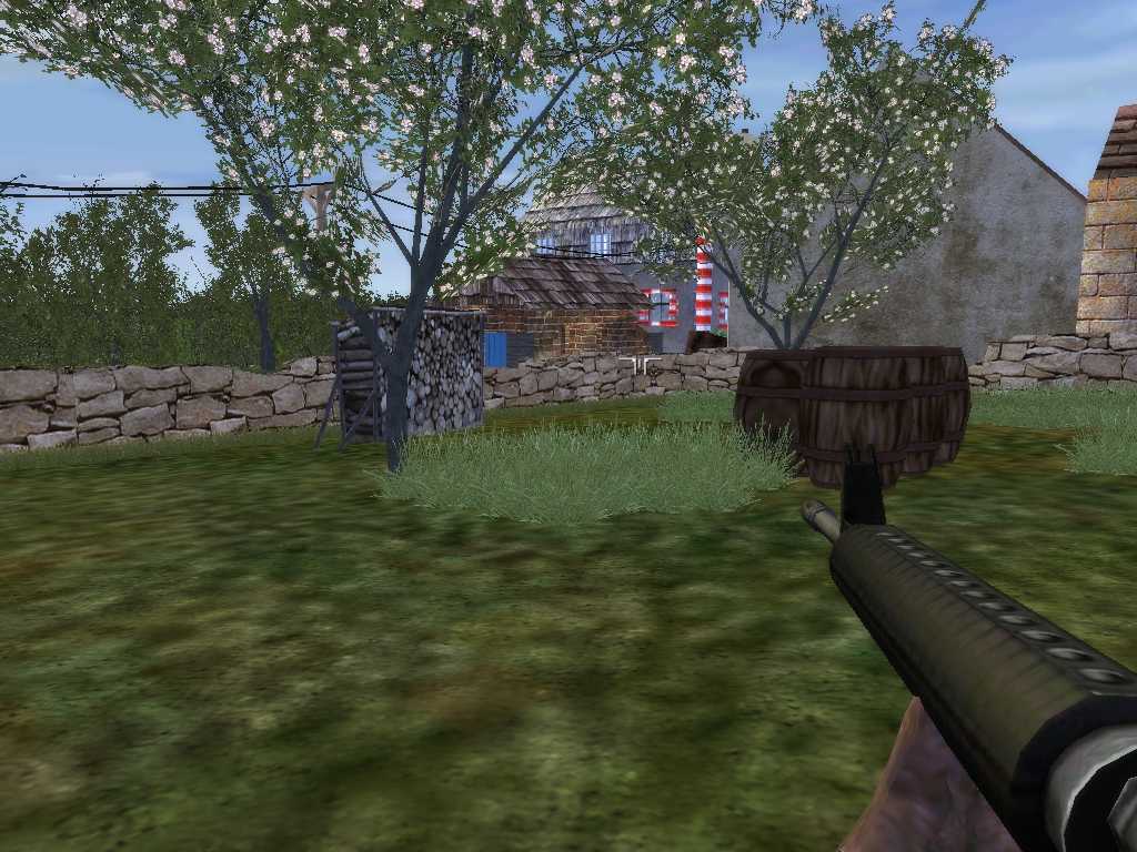
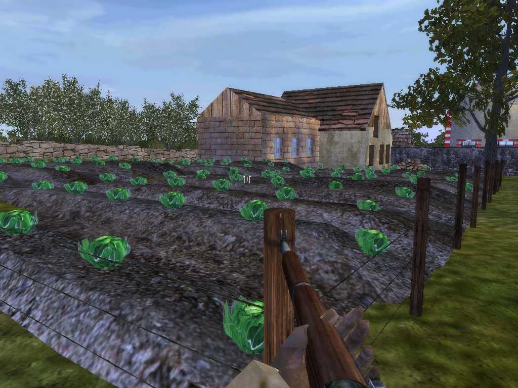
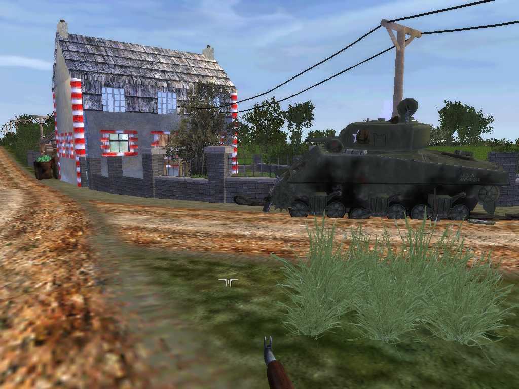
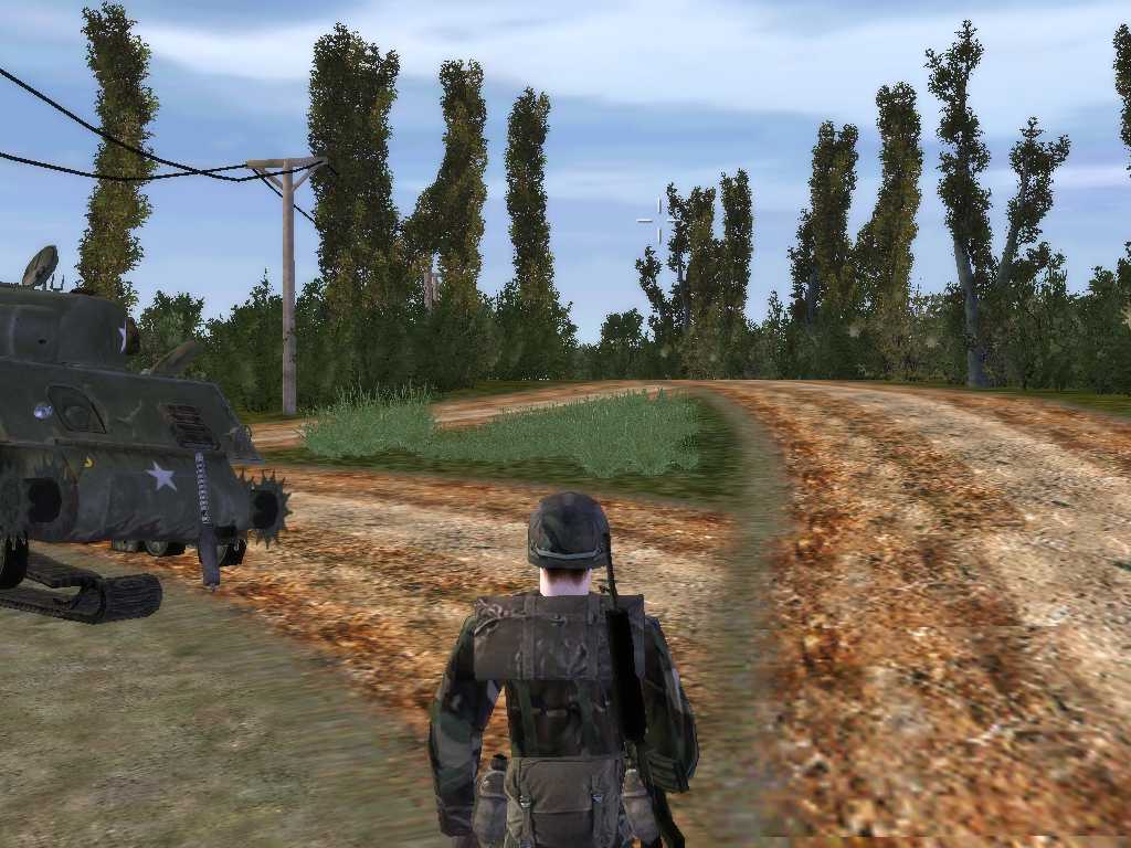
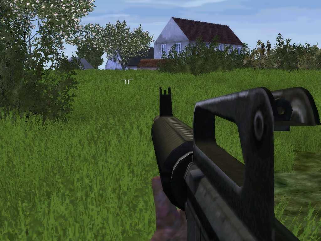
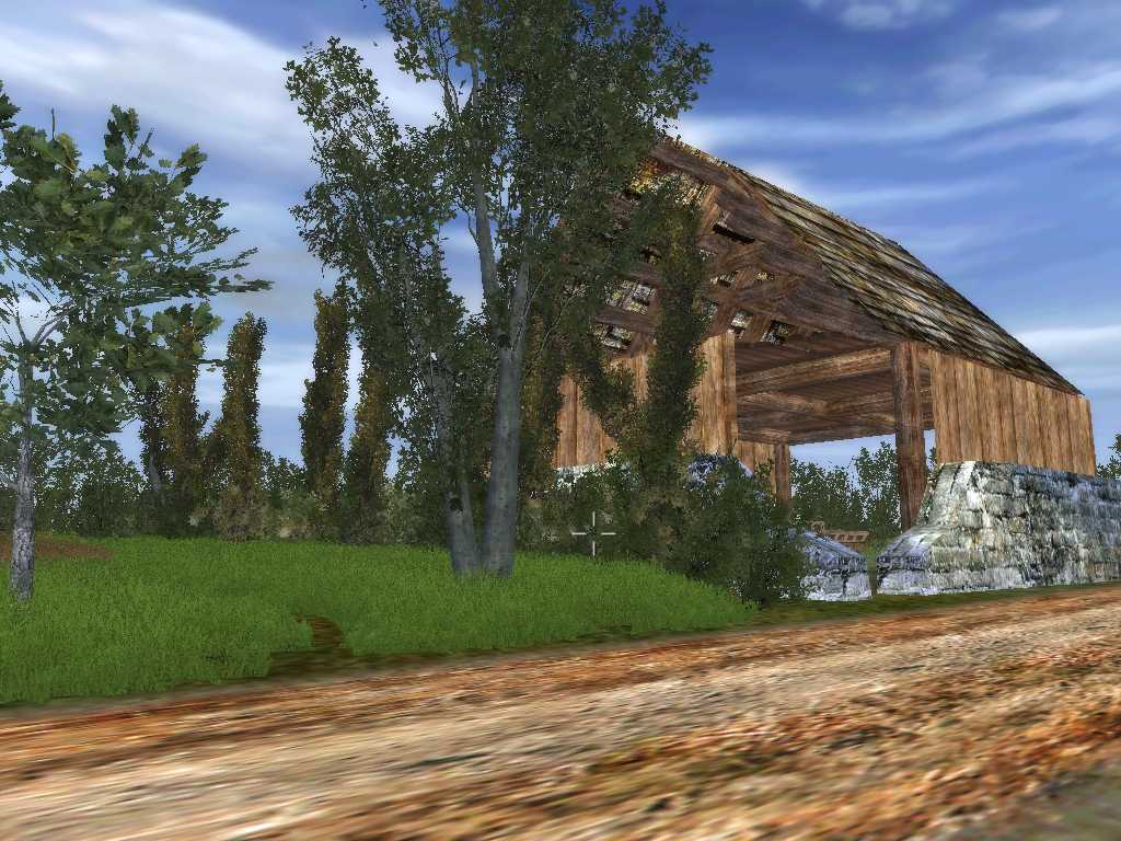
The German mapmaker Thone2000 is working on his own Normandy island, a 25x25 km map using historical aerial photos around Utah Beach, St Mere L’Eglise and Carentan. As you can see on the screenshots it looks very promising!