News / Normandy bocage terrain
Normandy bocage terrain
Klesk from AIA Mod sent us an email about Jean-Christophe’s Normandy bocage terrain:
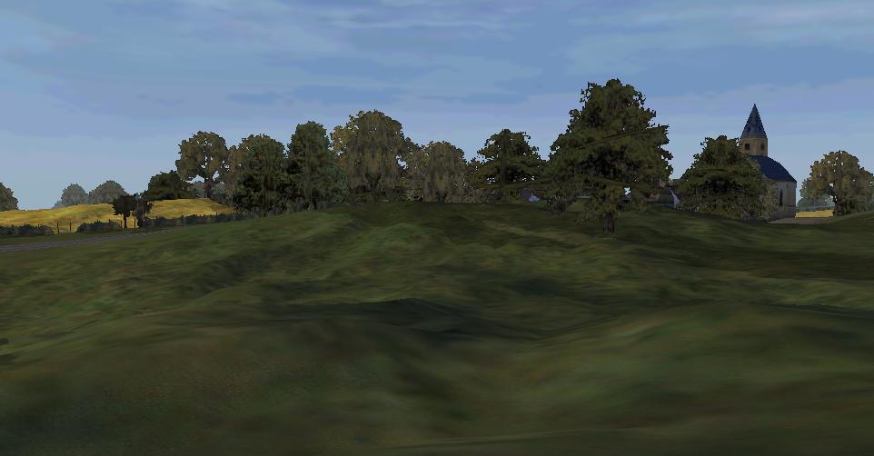
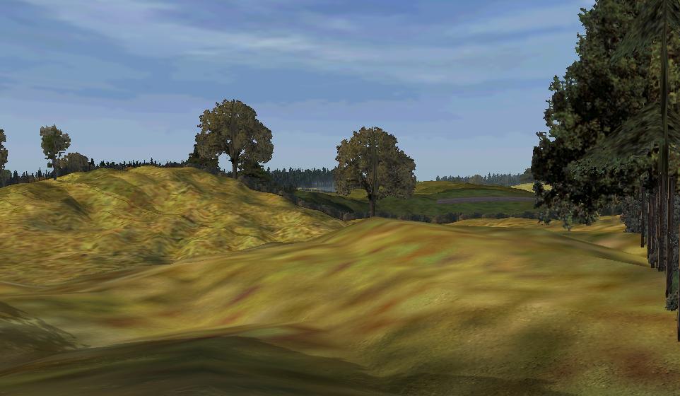
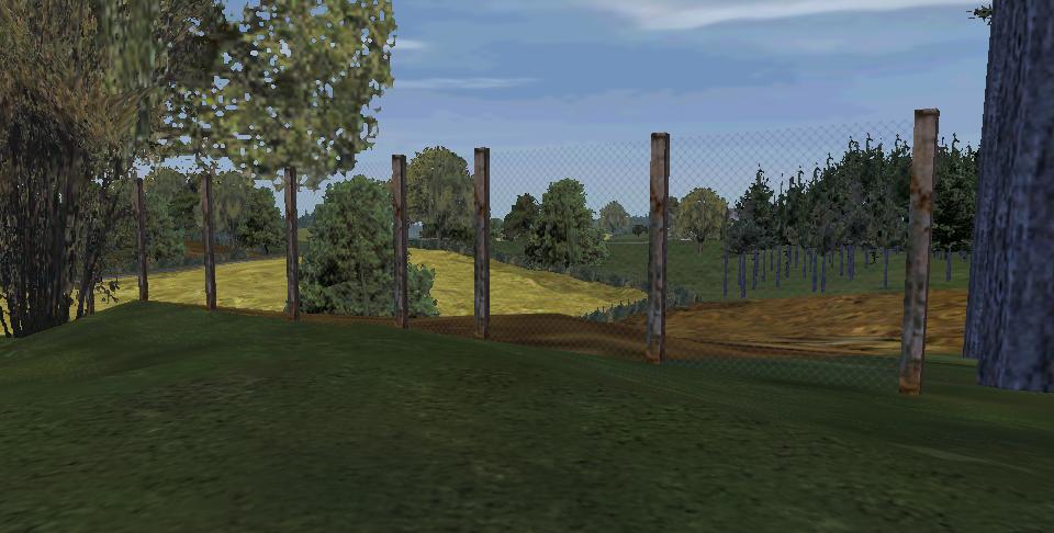
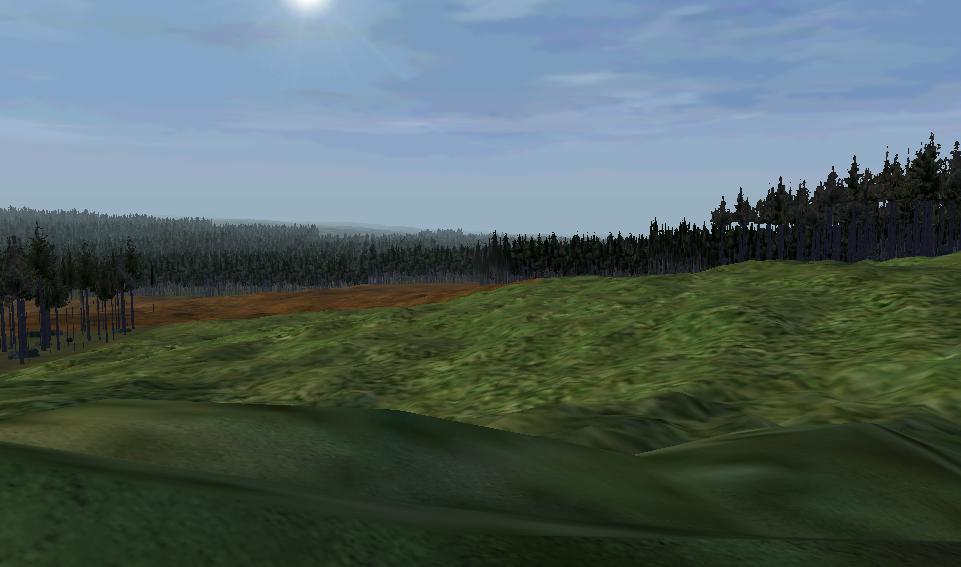
Jean has almost finished our Normandy map that will be released with the Western Front demo. It includes many common features of bocage terrain such as large open fields surrounded by hedges and and wooded areas. The map covers all areas of Normandy and the surrounding area from Caen, to Flers, to Argentant and Bayuex, and is about the size of Malden. Many new WW2 addons are being used in this map such as Windmills, fields of different produce, french style buildings and much more.The pictures have been taken in Normal land detail so it reflects the quality people will see in-game. Of course Omaha, Utah, Juno and all the rest of the D-DAY beaches have been re-created with accuracy. Although for our Omaha mission we will be using our other, smaller Normandy wrp edit map to get down on lag.